Showing posts with label Government. Show all posts

Sunday, January 11, 2009

A History of Jefferson County's Townships.

For most of its history, ten townships comprised Jefferson County. But during the first two decades of its existence, the county looked much different, not only because it covered more territory, but because townships were created and destroyed.

The original Madison Township was part of Clark County, from which Jefferson was created and when the Jefferson County Common Pleas Court, which handled virtually all county governmental functions, began its work on Feb. 11, 1811, it kept the name of Madison for one of the three townships it created.

The other two were Washington Township and Jefferson Township. Jefferson, with some alterations in its boundaries, became part of Switzerland County when that entity was created in 1814. It initially extended west to the Indian (Greenville) Treat line that runs diagonally to the Northeast from roughly Lamb on the Ohio River.


Washington Township was more extensive. Court records describe it as including all of the
residents of the township below the west line of Madison Township., which was a line from the River starting at on the west line of Section 6 Twp. 3N Range 10E. That included all of modern Graham, Hanover, Lancaster, Saluda, Smyrna, and Republican Townships. It also included the western tiers of sections in what is now Monroe Township. (The sections bordering Lancaster); modern Smyrna Township, and the three sections of Madison Township that border the northern boundary of Hanover Township. (a panhandle.) Since Jefferson County included all of the Grouseland purchase, it meant Washington also included Scott County and parts of Jennings and Jackson Counties.

Sandwiched between Washington and Jefferson Township, Madison Township extended east to the treaty line. Since it extended north to the Grouseland purchase boundary, it also encompassed most of Ripley and Jennings counties. Within modern Jefferson County, it was comprised by modern Shelby and Milton Townships, and most of Madison and Monroe Townships, and initially the part of modern Switzerland County between the Treaty line and the modern county border.

The creation of Jennings County in 1816, probably triggered the actions that the Jefferson County Court took next. It created Graham Township on Feb. 10, 1817, which encompassed the west part of the modern county, except for areas that became Lexington and Saluda Townships on February 13; Lancaster Township, laid off on March 5, also included modern Monroe Township.

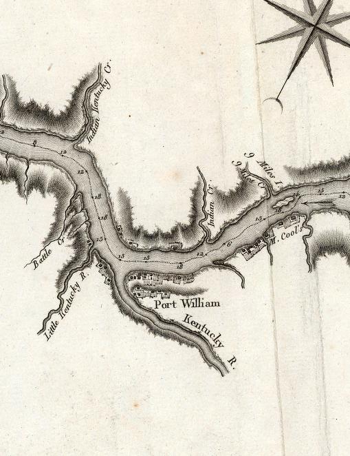
On March 12, the court created Pittsburgh Township, which took in a
roughly triangular piece of modern Milton Township that was bordered on the southwest by the Indian-Kentuck, starting about the site of Manville. The southern part of Milton Township remained in Madison Township. Republican Township was created the same day. Washington Township disappeared as a result of these actions.

Milton Township, taken from Madison and Pittsburgh Townships on May 12, 1818, included modern Shelby Township running from an east-west line between sections 33 and 33 Twp. 4N Range 11E to the Switzerland County border, leaving a remnant of Pittsburgh that was wiped by 1822 by the creation of Shelby Township.

Another vanished township, Edinburgh, is a mystery. There is no reference to its creation or dissolution in county records.
The first reference to Edinburgh came on May 6, 1817 when David Talbott was paid for services as an election inspector; Robert Mitchell as an election judge for both Edinburgh and Pittsburgh Townships, Peter Ryker as an election clerk, Samuel Caplinger as judge, John Littlejohn, James Wooley and James Christie as clerks. These men all lived in the Canaan and Barbersville areas. It may have taken in northern Shelby Township, along with Ripley County. It's possible it was destroyed with the creation of Ripley County in 1819, but Jefferson County records simply stopped mentioning it.

There was some tinkering. On June 10, 1811 Jefferson Township's boundary was pushed west to the line dividing Ranges 11 and 12, taking in parts of modern Shelby and Milton Townships. That didn't last as it was pushed back to the current Jefferson/Switzerland County line, but another change did. The court moved Madison Township's boundary about one mile west. Instead of running along the section lines for the corner of the southeast corner of Section 31 Twp. 4N Range 10E, it then ran along the boundary between Ranges 9 and 10E.

The only other boundary chanrges included one that took Paris from Graham Township and made it part of Jennings County, legendarily because it was trouble and was closer to the sheriff at
Vernon than at Madison. And the border between Graham Township and Scott County was pushed slightly east. Both measures were approved by the Indiana General Assembly in January 18330. 

The youngest townships were created over an 11 year period--Hanover in September 1836, Monroe on March 11, 1842 and Smyrna on June 16, 1847.


Saturday, October 18, 2008

Madison’s Curious Status

An earlier column on this blog looked at the odd way in which the founding of Madison has been given as 1809 and which has led to the city’s 200th anniversary being set for 2009—even though the only thing that happened in 1809 was John Paul’s purchase of the land on which lots were later created.


As pointed out, the first settler within the land that became Old Town Madison, John Henry Wagner, arrived in 1808 and no lots were sold until 1811. But beyond that is the question of the status of Madison as an officially authorized government entity, after its platting by Paul.

Initially, Madison was simply a populated area governed by the Court of Common Pleas, which handled all areas of government for Jefferson County after it began operating on Jan. 11, 1811.


The first act specifically naming Madison was the creation of road districts—for defining the area in which residents could be required to work on public roads. This occurred on June 18, 1811, although for some reason the court then authorized Madison to be formed into a road district on Feb. 19, 1812, perhaps reducing the number of districts to one—the minutes do not spell out the difference.


Madison was the also site of a justice of the peace court with the appointment of William Vawter on May 15, 1808. Justices were appointed by the governor until Indiana became a state in 1816, and there is no indicated that these justice’s territory was limited to Madison. (Even though John Vawter stated he was the first justice, territorial records clearly show William’s appointment and that John was named to the position “vis”—in place of—William, who had resigned on July 16.


Madison definitely got its own justices on March 5, 1817, as the commissioners authorized an election to be held on the first Monday in April for the election of two justices “for the Town of Madison who are to reside there …”


The usual report is that Madison was not incorporated as a town until April 1, 1824. However, the minutes of the county court showed the election of Dawson Blackmore, Nathaniel Hunt, Abraham Clarkson, James Ross and Martin Rowzer as trustees on Sept. 8, 1817. The language of the minutes is clear in referring to these men as trustees for the “corporation of the town of Madison” and this seemed to end the court’s direct governance.


Besides the 1824 action, there were more involving Madison’s status as a town. It was incorporated again on Jan. 2, 1829. Then followed a series of laws, including one of Jan. 25, 1850 in which the state legislature extended the town’s southern boundary from High Street to the Ohio River. However, the lawmakers felt that a series of amendments to the charter had made the situation confusing, and reincorporated the town on Feb. 4, 1831


As a town, Madison had no mayor. The trustees choose one of their own members as president who presided over meetings and signed official documents. In 1824, and perhaps earlier, the board had been expanded to seven from the five-member board of 1817.


Madison achieved its final government form in 1838 when it was incorporated as a city.